The Ultimate Guide to Huntsville Hiking Trails
Over 200 miles of trails await. From waterfall hikes to scenic overlooks, this comprehensive guide covers every hiking destination in the Rocket City—written by locals, for locals.
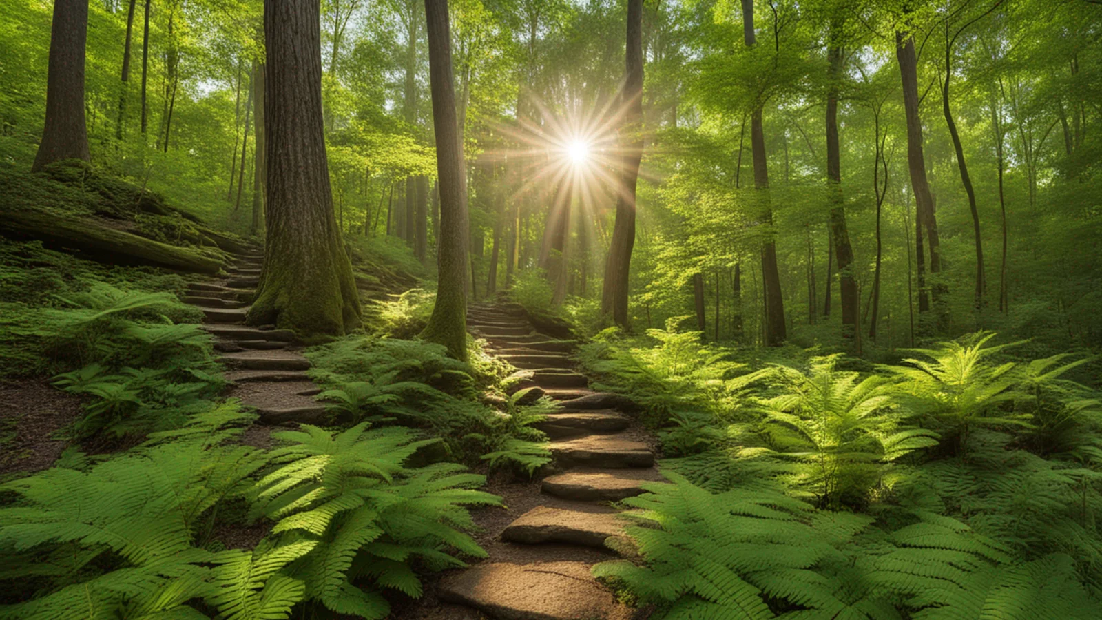
The Ultimate Guide to Huntsville Hiking Trails
Think Huntsville doesn't have much to offer for hiking? Think again. With over 200 miles of trails across 10+ preserves and parks—most of them free—the Rocket City is quietly one of the best hiking destinations in the Southeast.
This isn't your typical "top 5 trails" listicle. This is the definitive guide to hiking in Huntsville, compiled from local knowledge, trail data, and countless boots-on-ground hours. Whether you're looking for a quick lunch-break loop, a challenging summit push, or a waterfall adventure, we've got you covered.
Quick Reference: Trail Categories
By Experience Level:
- Easy Family Hikes — Perfect for kids and casual walkers
- Moderate Day Hikes — Good workout, manageable terrain
- Challenging Adventures — For experienced hikers seeking a challenge
By Feature:
- Waterfall Trails — Chase the cascades
- Best Views — Overlooks and panoramas
- Dog-Friendly Trails — Bring your four-legged friend
By Location:
- Monte Sano Area — The crown jewel
- Land Trust Preserves — Free trails across the region
- Day Trip Adventures — Worth the drive
The Land Trust of North Alabama
Before we dive in, you need to know about the Land Trust of North Alabama—the unsung heroes of Huntsville hiking. This nonprofit maintains over 10,000 acres and 80+ miles of free public trails across 10 different preserves. Yes, free. Every trail mentioned below (except Monte Sano State Park) is maintained by the Land Trust.
Hours: Dawn to dusk, daily Cost: Free (donations welcome) Dogs: Leashed dogs welcome on all trails Website: landtrustnal.org
They also offer free guided hikes monthly—registration required at the beginning of each month, with Land Trust members getting priority.
Monte Sano State Park
The crown jewel of Huntsville hiking. Perched atop Monte Sano ("Mountain of Health"), this 2,140-acre state park offers 20+ miles of hiking trails with terrain for every skill level.
Address: 5105 Nolen Ave, Huntsville, AL 35801 Hours: 8am to sunset daily (trails close 30 min before sunset) Phone: (256) 534-3757 Entry Fee: $5/person (ages 12-61), $2 ages 4-11 and 62+, Free for veterans with ID
Must-Do Trails at Monte Sano State Park
Stone Cuts Trail
Distance: 2.5 miles | Difficulty: Moderate | Elevation: 350 ft
The park's most popular trail and for good reason. The highlight is a massive rock formation carved by millennia of water erosion, featuring an impressive cave shelter you can walk through. The trail winds through varied terrain with some rocky sections.
Pro tip: Go early on weekends—this trail gets crowded by mid-morning.
North Plateau Loop
Distance: 1.9 miles | Difficulty: Easy | Elevation: 150 ft
The perfect introduction to Monte Sano. This family-friendly loop circles the inner park area and connects to five other trails, making it a great starting point for longer adventures. Mostly shaded with gentle terrain.
Best for: Families with kids, first-time visitors, easy morning walks
South Plateau Loop
Distance: 3.4 miles | Difficulty: Easy-Moderate | Elevation: 200 ft
A scenic loop with breathtaking overlooks of the Tennessee Valley, especially spectacular during fall foliage season (peak: late October). Don't miss O'Shaughnessy Point for one of the best views in the park.
Best for: Photography, fall color viewing, moderate exercise
Mountain Mist Trail
Distance: 3.2 miles | Difficulty: Moderate | Elevation: 400 ft
Ridge walking at its finest. This trail delivers some of the best panoramic views of the Tennessee Valley from the mountain's edge. The "mist" in the name comes from the morning fog that often blankets the valley below.
Best for: Sunrise hikes, valley views, experienced beginners
McKay Hollow Trail
Distance: 2.0 miles | Difficulty: Difficult | Elevation: 600 ft
The real deal. McKay Hollow offers significant elevation changes as you navigate rocky sections up and down the mountain. This is where Monte Sano shows its teeth.
Best for: Hikers seeking a challenge, leg day, building endurance
The Grand Loop (Advanced)
Distance: 9.6 miles | Difficulty: Difficult | Time: 4.5-5 hours | Elevation: 1,309 ft
The ultimate Monte Sano challenge: North Plateau → Mountain Mist → Logan Point → McKay Hollow. This loop covers the park's most scenic sections and is best attempted by experienced hikers with a full day to spare.
Bring: 2+ liters of water, snacks, first aid kit, fully charged phone
Monte Sano Nature Preserve
Just west of the state park (and only 2 miles from downtown), the Monte Sano Nature Preserve is one of the largest urban nature preserves in the country. Managed by the Land Trust, it offers 1,107 acres and 25+ miles of trails—all free.
Address: 2442 Bankhead Pkwy NE, Huntsville, AL 35801 Hours: Dawn to dusk Cost: Free
Featured Trails
Three Caves Loop
Distance: 2.8 miles | Difficulty: Moderate | Elevation: 400 ft
A unique trail around the remains of a historic limestone quarry, featuring three impressive cave formations. The geology here tells the story of Monte Sano's industrial past.
Don't miss: The third cave is the most impressive—bring a flashlight to peer inside.
Old Railroad Bed Trail
Distance: 3.5 miles | Difficulty: Easy | Elevation: 100 ft
History meets hiking. This gentle trail follows the route of the historic Monte Sano Railway that once carried tourists up the mountain in the late 1800s. The even grade makes it perfect for families and anyone wanting an easy walk with historical significance.
Fun fact: The railroad operated from 1888-1896, bringing tourists to the Monte Sano Hotel.
Waterline Trail
Distance: 1.7 miles | Difficulty: Moderate-Difficult | Elevation: 541 ft
A hidden gem that climbs 541 feet along an old water pipe route to a seasonal waterfall. This rock causeway is one of the driest trails on the lower mountain—great after rain when others are muddy.
Best for: Waterfall chasers, good workout in short distance
Land Trust Nature Preserves
Blevins Gap Nature Preserve
The view-seeker's paradise. This 1,127-acre preserve is divided by Cecil Ashburn Drive into north and south sections, offering some of the most spectacular valley overlooks in the area.
South Trailhead: 3470 Cecil Ashburn Dr SE (727 acres, ~8 miles of trails) North Trailhead: 2275 Cecil Ashburn Dr SE (267 acres, ~4.5 miles of trails) Hours: Sunrise to sunset (automatic gate)
Bill and Marion Certain Trail
Distance: 1.97 miles | Difficulty: Moderate | Elevation: 550 ft
The signature trail. This ridgeline route has everything: 550 feet of climbing, small waterfalls, rock overhangs, and a plateau section with epic views in both directions. Often called the best overlook hike in South Huntsville.
Pro tip: Turn around at the plateau overlook for a 4-mile out-and-back with maximum views.
Fanning Trail (North Section)
Distance: 2.04 miles | Difficulty: Difficult | Elevation: 400 ft
The north section's crown jewel. A challenging climb with switchbacks and strategically placed benches for catching your breath. Winter is the best time—bare trees reveal stunning valley views at the summit.
Little Foot Loop Trail
Distance: 0.1 miles | Difficulty: Easy
Specifically designed for young hikers with climbing structures and a stage for imaginative play. Perfect for getting little ones excited about the outdoors.
Green Mountain Nature Preserve
Address: 13800 South Shawdee Road, Huntsville, AL 35803 Acres: 818 | Features: Waterfall, 17-acre lake, covered bridge
Alum Hollow Trail
Distance: 2.2 miles | Difficulty: Easy-Moderate | Elevation: 200 ft
The most popular waterfall hike in Madison County. The forested path to the falls is about a mile each way, mostly easy terrain until a steep descent to the waterfall itself. The cave behind the falls adds an extra element of adventure.
Best for: First waterfall hike, families (older kids), Instagram-worthy photos
Note: Pet waste bags provided at the trailhead. The area near the falls can be slippery.
Sky Lake Loop
Distance: 1.5 miles | Difficulty: Easy | Elevation: 50 ft
A gentle stroll around a peaceful 17-acre lake, complete with a picturesque covered bridge. This is the preserve's most family-friendly option.
Rainbow Mountain Nature Preserve
Address: 230 Stoneway Trail, Madison, AL 35758
The perfect preserve for families with young children. The gentle terrain features caves, springs, rock formations, and seasonal wildflowers without the challenging elevation of other trails.
Rainbow Loop Trail
Distance: 1.53 miles | Difficulty: Easy | Elevation: 100 ft
A gentle loop showcasing the preserve's unique geology—caves, springs, and rock formations that kids love exploring. Can be muddy after rain.
Best for: Toddlers and preschoolers, geology enthusiasts, easy morning walks
Chapman Mountain Nature Preserve
Address: 1263 U.S Hwy 72 East, Huntsville, AL 35811
Just 10 minutes from downtown, Chapman Mountain offers multi-use trails for hiking, biking, and horseback riding.
Terry Trail / Bulldog Trail Loop
Distance: 3.0 miles | Difficulty: Moderate | Elevation: 350 ft
The best way to experience Chapman Mountain. This loop combines two trails for a satisfying workout with varied terrain.
Hays Nature Preserve
Address: 7170 US Highway 431 S, Owens Cross Roads, AL 35763
The flat option. If you're looking for easy, level terrain without elevation challenges, Hays is your spot. Over 10 miles of trails trace the Flint River through lakes and wetlands.
Bonus: Part of the North Alabama Birding Trail—bring binoculars!
Best for: Birding, jogging, casual walks, mobility-challenged hikers
Bethel Spring Nature Trail
A 360-acre preserve on Keep Mountain featuring Madison County's largest waterfall. The 2-mile loop offers farmland views and a rewarding waterfall payoff.
Distance: 2.0 miles | Difficulty: Easy | Elevation: 150 ft
Caution: Rocks near the waterfall can be slippery. Limited parking (20 cars).
Waterfall Trails
Huntsville's waterfalls are seasonal—they flow strongest in late winter through spring after good rains. Here are the best:
| Trail | Distance | Difficulty | Best Season |
|---|---|---|---|
| Alum Hollow (Green Mountain) | 2.2 mi | Easy-Moderate | Year-round, peak in spring |
| Waterline Trail (Monte Sano Preserve) | 1.7 mi | Moderate-Difficult | After rain |
| Bailey Cove Trail (Blevins Gap) | 0.26 mi | Difficult | After heavy rain |
| Bethel Spring | 2.0 mi | Easy | Winter/Spring |
| Bill and Marion Certain | 1.97 mi | Moderate | After rain |
Best Views
For Valley Panoramas:
- O'Shaughnessy Point (South Plateau Loop, Monte Sano State Park)
- Bill and Marion Certain Trail (Blevins Gap)
- Mountain Mist Trail (Monte Sano State Park)
- Fanning Trail Summit (Blevins Gap North)
For Fall Foliage:
- South Plateau Loop (Monte Sano State Park)
- Stone Cuts Trail (Monte Sano State Park)
- Three Caves Loop (Monte Sano Preserve)
Dog-Friendly Trails
Good news: Almost every trail in Huntsville welcomes leashed dogs. The Land Trust provides pet waste bags at most trailheads.
Best for dogs:
- Rainbow Mountain — Easy terrain, shade, water features
- North Plateau Loop — Shaded, manageable distance
- Old Railroad Bed — Flat and easy on paws
- Sky Lake Loop — Water access for cooling off
Challenging for dogs:
- McKay Hollow (steep, rocky)
- Bailey Cove (very steep)
- Stone Cuts (rocky in sections)
Day Trip Adventures
Worth the drive for special occasions:
Walls of Jericho
Distance from Huntsville: 1 hour Trail Distance: 8.6 miles out-and-back Difficulty: Moderate-Difficult
Often called the best hike within 2 hours of Huntsville. The trail descends into a stunning canyon with a 40-foot waterfall (rain-dependent), swimming holes, and a large cave. All downhill in, all uphill out—plan 1.5 hours down, 2 hours up.
Pro tip: Visit in spring for the best waterfall flow. Bring hiking boots—it gets slippery.
Dismals Canyon
Distance from Huntsville: 1.5 hours Trail Distance: 2 miles Difficulty: Easy Cost: $12 adults, $8.75 children
A National Natural Landmark famous for bioluminescent glowworms—one of only a few places on Earth to see them. The day hike features waterfalls, moss caves, and unique rock formations. Book a night tour for the full glowworm experience.
Sipsey Wilderness / Sougahoagdee Falls
Distance from Huntsville: 1.5 hours Trail Distance: 2.5 miles to main waterfall Difficulty: Easy-Moderate
Part of Bankhead National Forest, featuring crystal-clear Sipsey River water, sandy shores, and ancient Hemlock trees. Multiple trail options for extended exploration.
Little River Canyon
Distance from Huntsville: 1.5 hours Trail Distance: 2 miles main loop Difficulty: Easy
One of the deepest canyons east of the Mississippi with dramatic overlooks and a large waterfall. Mountain bike trails also available.
Cheaha State Park
Distance from Huntsville: 2 hours Difficulty: Varies
Home to Alabama's highest point at 2,407 feet. The views from the lookouts seem infinite—worth the drive for the unique high-altitude Alabama experience.
Seasonal Guide
Spring (March-May)
Best for: Waterfalls at peak flow, wildflowers, comfortable temperatures
Considerations: Muddy trails after rain, tick season beginning
Top picks: Alum Hollow, Bethel Spring, Walls of Jericho
Summer (June-August)
Best for: Long daylight hours, swimming holes
Considerations: Hot and humid—start early (before 8am), bring extra water, watch for snakes
Top picks: Early morning Monte Sano, Hays (flat and shaded), Sipsey Wilderness (water access)
Fall (September-November)
Best for: Peak foliage (mid-October to early November), ideal hiking weather
Considerations: Popular trails get crowded on weekends
Top picks: South Plateau Loop, Stone Cuts, Three Caves Loop
Winter (December-February)
Best for: No crowds, clear valley views through bare trees, no bugs
Considerations: Shorter daylight, can be icy on exposed trails
Top picks: Fanning Trail (winter views), Bill and Marion Certain, any overlook trail
Pro tip: November through April offers fewer issues with ticks, snakes, and poison ivy.
Essential Gear Checklist
Always bring:
- Sturdy hiking shoes or boots (trails can be rocky and slippery)
- Water (minimum 1 liter per 2 hours)
- Trail map or downloaded offline map
- Sunscreen and hat
- Phone with charged battery
- First aid kit
- Snacks
Seasonal additions:
- Bug spray (spring-fall)
- Extra water (summer)
- Layers (winter)
- Trekking poles (for steep trails)
Trail Etiquette
- Stay on marked trails — Protects both you and the ecosystem
- Pack out what you pack in — Leave no trace
- Yield to uphill hikers — They have the right of way
- Keep dogs leashed — Required on all trails
- Leave wildlife alone — Observe from a distance
- Don't blast music — Use earbuds if you need tunes
Local Resources
Land Trust of North Alabama Website: landtrustnal.org Phone: (256) 534-5263 Guided Hikes: Free monthly, registration required
Monte Sano State Park Website: alapark.com/parks/monte-sano-state-park Phone: (256) 534-3757
Huntsville/Madison County CVB Website: huntsville.org Outdoors Guide: huntsville.org/things-to-do/outdoors
The Bottom Line
Huntsville offers hiking that rivals cities ten times its size. With 200+ miles of trails—most of them free—there's no excuse not to get out there. Start with the basics (North Plateau Loop, Rainbow Mountain), work up to the classics (Stone Cuts, Alum Hollow), and eventually tackle the challenges (McKay Hollow, Walls of Jericho).
The trails are waiting. See you out there.
This guide is maintained by the RocketCity.Life team. Last updated January 2026. Have a trail update or correction? Let us know.
More Guides
More to Explore
Downtown Huntsville Coffee Trail
Explore the best local coffee shops in downtown Huntsville
This Week: Local Brewery Crawl
Three breweries, one epic Saturday adventure
Huntsville in a Day: Rocket Science, Art, and Southern Bites
From moon rockets to mural-covered mills, experience the best of Rocket City in one action-packed day.